Geological Significance and UNESCO Designation
Inscribed onto the UNESCO World Heritage list in 1986, the Škocjan Caves (Škocjanske jame) encompass one of the largest subterranean river canyons identified anywhere on Earth. Located on the Classical Karst plateau near Divača, the cave system is carved into thick Cretaceous to Paleocene limestone beds.
The system stands as the archetype of dynamic fluvial karst: a high-discharge river sinking into an open limestone chasm, creating collapse dolines of unprecedented scale before plunging into an subterranean canyon system measuring over 2.6 kilometers in linear length.
The Reka River: Subterranean Torrent & Martel's Chamber
The Reka River collects runoff across a 350-square-kilometer impermeable flysch catchment on the slopes of the Snežnik plateau. At the village of Škocjan, the river abruptly reaches the limestone contact and descends into the bedrock via a spectacular swallow hole beneath a 163-meter vertical precipice.
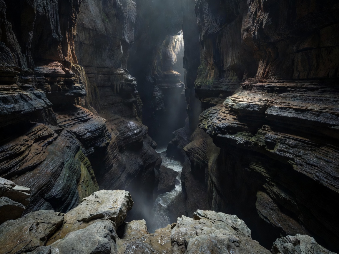
Inside the subterranean chasm, the river has carved a canyon ranging from 10 to 60 meters in width, with vertical or overhanging rock walls soaring up to 146 meters above the foaming torrent. During catastrophic autumn flooding events, the Reka's underground discharge can surge from an average base flow of 8 cubic meters per second to over 300 cubic meters per second. These massive hydraulic pulses cause water levels inside the canyon to rise tens of meters in a matter of hours, backing up against narrow submerged siphons downstream.
The canyon terminates in Martel's Chamber (Martelova dvorana), one of the most voluminous subterranean voids on the European continent:
- Volume: Approximately 2.2 million cubic meters.
- Length: 308 meters.
- Maximum Width: 123 meters.
- Maximum Height: 146 meters from the river bed to the arched ceiling vault.
Collapse Dolines: Velika Dolina and Mala Dolina
Before entering the deep underground canyon, visitors encounter the collapse dolines (udornice) of Velika Dolina (Big Valley, depth 165 meters) and Mala Dolina (Little Valley, depth 120 meters). These gargantuan surface depressions resulted from the catastrophic roof collapse of ancestral subterranean chambers during past glacial periods.
Separated only by a narrow natural rock bridge, these dolines harbor an extraordinary microclimatic inversion phenomenon. Cold, moisture-saturated air pooling at the bottom of the chasms creates a sub-alpine microclimate supporting relic glacial plant species, while Mediterranean flora flourishes on the sunny upper limestone rim just 150 vertical meters above.
Historic Footpaths & The Cerkvenik Bridge
Exploration of Škocjan required pioneering speleological boldness. Between 1884 and 1906, local explorers (the "Jamarji") and the Austro-German Alpine Association hacked narrow ledges directly into the vertical canyon walls using hand-forged iron spikes and wooden steps, illuminated solely by handheld carbide lamps.
Modern visitors traverse secure footways, culminating in the crossing of the Cerkvenik Bridge. Suspended nearly 50 meters directly above the roaring Reka River in the heart of the Hanke Channel (Hankejev kanal), the bridge provides an awe-inspiring perspective of the immense scale of karst dissolution.
Conservation and Ecological Fragility
Due to its status as a Ramsar Wetland of International Importance and a UNESCO Biosphere Reserve, ecological monitoring in Škocjan is rigorous.
- Significant colony of Schreiber's bent-winged bat (Miniopterus schreibersii)
- Pristine rimstone basins in the Silent Cave (Tiha jama)
- Undammed natural hydraulic pulses maintaining sediment flush
- Zero mechanical transit inside the cavern network
- Upstream pollutants from industrial flysch catchments require catchment-wide monitoring
- Strict photography regulations to minimize path congestion
- Microclimate sensors monitoring thermal plumes from lighting
- Restricted access to the deep siphons to protect endemic aquatic troglobites